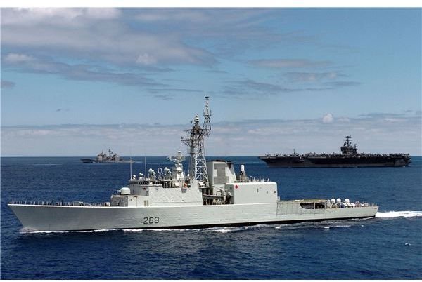
A ship in the ocean is surrounded only by seawater so how did the earlier sailors found their way without the modern paraphernalia? Although sailing close to land has always been easier once landmarks become visible, sailing in the open sea has involved using the planets and the stars as landmarks.
The Theory
Celestial navigation has been in use in one form or another since the beginning of time, and is the only sure way of finding the ship’s position in the open sea without using the GPS even today.
Navigators find their position close to land using ‘fixes’. If one is due South of a lighthouse, for example, one is anywhere on a line drawn directly South from the lighthouse (a line of bearing). If there is another lighthouse in the vicinity, another line of bearing is drawn- where these two lines intersect is the ship’s position. For more complicated calculations over short distances, plane trignometry can be easily used to solve the problem of position fixing.
The problem is that there are no lighthouses in the open sea. Long ago, mariners discovered that they could instead use the stars and planets and obtain the ship’s position using spherical trignometry. They used a ‘spherical triangle’, an imaginary triangle on the surface of the earth with three points- the North Pole, the ‘Geographical Position’ of the celestial body (eg sun) and the ship’s approximate position (also called the Dead Reckoning Position).
The Geographical position of the body is the point at which a line drawn from the centre of the body and the centre of the earth touches the earths surface.
The sides of this spherical triangle thus become
-
A line drawn from the pole to our position. This is the same as 90 degrees minus the Latitude
-
A line drawn from the pole to the GP. This is the same as 90 degrees minus the body’s declination (angle in degrees above the celestial equator, similar to latitude and detailed in the Almanac.)
-
A line drawn from our position to the GP. Same as 90 degrees minus the calculated height of the body above the horizon, also called zenith distance.
This is the triangle which is solved.
The Process
Using a sextant, the angular distance of the body above the horizon is taken. The exact time is noted with a chronometer.
The Nautical almanac, published annually, gives us the information we require (including declination) for calculations for a half dozen planets including the sun and moon. It also gives similar information for almost sixty stars. Nautical tables give navigators easy means of solving spherical triangles without laborious calculations.
Normally three celestial bodies are ‘shot’ one after another in rapid succession.
The Cocked Hat
Using the Local Hour Angle, (from the Almanac after adjustment for ship’s approximate longitude), the altitude (from the sextant) and the body’s declination, one position line- very similar to the bearing line from the lighthouse example above- is obtained. The observer can be anywhere on this position line.
Three such lines from the three celestial bodies intersect close together- not exactly at a point, because there is a small time difference between the three ‘sights’ taken on the sextant while the ship is still moving. The error is negligible, though.
The centre of the cocked hat is the position of the vessel.
Variations using the planets and the North Star.
Usually, in the open sea, a ‘Long By Chron’ sight will be taken in the morning using the sun. This gives us the ships longitude. At noon, a ‘Meridian Passage’ of the sun will be shot, giving us the latitude of the moving vessel. Combing both these sights gives us a reliable position of the ship.
At twilight, either in the morning or evening, three or more stars/planets will be shot to get a cocked hat, and the ship’s position.
The North Star is also used for a quick calculation of the latitude.
A decent navigator should get the ship’s position within a mile in the open sea- and also a lot of satisfaction in using a traditional method well.