Roads are key channels in a modern society’s substructure, lending a great deal to the allocation of goods, funds, and individuals. Application of GIS in road traffic management renders many useful functions for assuring an efficient flow in the traffic systems of a country.
Introduction
Graphical Information Systems, or GIS, represent the modern entry of multi-discipline fields in subject areas like computer science, surveying, geography, and cartography into statistical analysis and the management of transportation systems. GIS is based on geographical spatial information, adopting the geographical prototype analytic technique and extending many sorts of spatial and dynamic geographic data. It is a computer-driven high-tech arrangement that provides for geographical exploration and geographic decisiveness.
It goes without saying that road and traffic information is crucial data for a city. Road traffic managers normally organize this material by compiling the data into tables used in statistical analysis. However, as the volume of data is huge and multifaceted relations of data are involved, it becomes very difficult to administer them consistently.
And here’s where applying GIS technology to the structure of the database helps in handling the positions and properties of clients visually.
Applying GIS in transportation systems enables a broad collection of potential applications that are as varied as the area of transportation itself. Be it cars and trucks going down a road, trains moving along a track, ships sailing over the sea, or planes soaring high above us in the sky, all have one thing in common, and that is they are objects moving alongside others in space. GIS can provide a valuable tool for handling these targets with regard to a spatially referenced framework, screening the routes as a transportation electronic network.
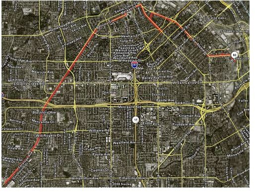
Road Transport Network
Pros of Gis System in Transportation
Since Transportation direction is a spatial process, it can be handled efficaciously utilizing GIS engineering science. Below are listed the gains of efficient transportation management:
- Effortlessness movement of traffic
- Time spent on roads by traffic can be reduced to minimum
- Improved mood of clients while driving
- Altered personal protection/roadway safety
- Efficient transport planning and designing
How Does the GIS System Work?
Highway designers have for years obstinately maintained that forevermore designing and building new roads will serve to reduce traffic in densely populated urban areas. Sadly, the result in most cases has turned out to be provisional. London’s M25 orbital throughway is an example. In the late sixties when it was designed, engineers assumed it would relieve traffic blockages in and around London. Unfortunately, the beltway brought more motorists into the central city from outlying areas, and the effect was to worsen congestion, not relieve it.
GIS has proved to be a constructive adjunct when envisioning the effect that traffic on roadways and for proposed new construction has on the environment. Differences of opinion that crop up can be seen openly, and different alternatives can be searched more effortlessly than on a paper map. Using GIS for 3D visual imaging may also facilitate solving disagreements that frequently take place when people from different engineering fields work together on a large project. Alterations in design can be made earlier than when the actual trouble evidences itself on-the-spot.
A further growth of the application is the use of GIS in machines for educating drivers, parallel to simulators which are being used for planes and ships. This could prove to be particularly supportive for urgent situations where vehicle drivers are still new to a particular area or region.
The GIS system can prove to be of immense significance in traffic operations. This is because incident and traffic direction organizations established on GIS offer numerous advantages for traffic operations managers. In reality GIS is valued significantly for its capability to function with high competence. GIS is competent at incorporating data feeds and apportioning “dashboard” or on-screen positions quickly. This characteristic makes it perfect for acquiring a complete picture of present traffic positions.
For example, traffic operations directors can monitor traffic blockages and other such data so that they are able to rapidly react to changes. They can also contribute their opinions with the public through internet sites and traffic information channels and modify the drivers’ behavior relative to information on road conditions, travel time, construction areas, lane or exit closures, adverse weather impeding traffic, etc.
Conclusion
GIS has a wide variety of applications in road traffic direction and traffic planning, as well as other spheres in transportation networks. On the other hand, GIS is not used unaided, but with other sophisticated techniques such as transport telematics and intelligent transportation systems. Altogether, GIS is a bonus to all sorts of traffic direction; the blending of GIS with other schemes is perhaps the best principal potential for the expectations of GIS.
References
Husdal, J, Road Transportation Management using GIS – vehicle routing and tracking, unpublished course paper for the MSc in GIS University of Leicester, UK.
Engineering Papers - Urban Road Traffic Safety GIS System