What is a Geotechnical Survey?

Why are Geotechnical Surveys Needed?
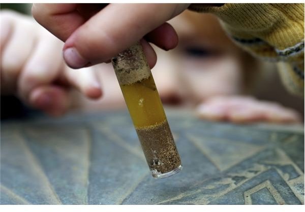
Geotechnical investigations are executed by geotechnical engineers and geologists to acquire information regarding the physical characteristics of soil and rocks. The purpose of geotechnical investigations is to design earthworks and foundations for structures, and to execute earthwork repairs necessitated due to changes in the subsurface environment. A geotechnical examination includes surface and subsurface exploration, soil sampling, and laboratory analysis. Geotechnical investigations are also known as foundation analysis, soil analysis, soil testing, soil mechanics, and subsurface investigation. The samples are examined prior to the development of the location. Geotechnical investigations have acquired substantial importance in preventing human and material damage due to the earthquakes, foundation cracks, and other catastrophes. Geotechnical investigations can be as simple as conducting only a visual assessment of the site or as detailed as a computer-aided study of the soil using laboratory tests.
Parameters of Geotechnical Investigations
Geotechnical investigations are a vast discipline that can include geophysical methods, geologic mapping, and photogrammetry. A geologist is concerned with the soil conditions and determines the structure size that may be safe for the soil under examination.
Geotechnical investigation may also disclose issues that may be difficult in an earthquake, like soil liquefaction. The investigations can also be utilized to find a formation like bedrock that can be able to support a structure in an earthquake. Soil examination is of great significance in the construction industry. It is conducted before the construction to prevent collapse of structure foundations. The nature of the soil and its bearing capacity is determined to establish the foundation stability. This is necessary since the structure foundation failures are almost permanent.
Modern Tools of Geotechnical Investigations
Geotechnical examination has progressed rapidly with the development of several other engineering disciplines. Thus, the investigations now are much more accurate and fast. Ground penetrating radar is being used that utilizes radar pulses for subsurface imaging. This is a non-destructive technique that uses the reflected electromagnetic radiations from the subsurface structures to acquire data for further analysis. Antennas are used for transmission and receiving of signals. The transmission antenna emits high
frequency pulses into the soil. The waves strike objects with unlike dielectric constants, and the data received is analyzed for variations detected in the return signal. The principles of reflection seismology are applied by using electromagnetic energy. This process can be utilized in rocks, structures, pavements, fresh water, ice, and soil, to sense matter, material changes, cracks, and voids. Engineering applications include discovering buried structures, identify landfills and contaminated areas. A Geographic Information System (GIS) is used that is mapping software for remote sensing, land survey, and photogrammetry.