Absolute vs. Relative Position in Coordinate Systems
A coordinate system in geography is one that designates every location on earth with a specified set of numbers. This enables any location to have a specified vertical position and a horizontal position which allows the point to be located on the surface of the earth. A further set of numbers indicate the elevation of the same point with respect to a fixed datum, generally the sea level.
This can vary depending on the country or region under consideration. It is also possible to locate positions with Cartesian coordinates which gives the distances in all the three axes from a fixed point which is considered as the center of the earth, although it is the center of the mass of the earth which is actually considered, as this is easier to locate.
Absolute Location and Coordinates
Absolute location helps to determine the location of a place with respect to certain coordinates that themselves have a fixed reference. The relative position of a place is determined in reference to certain landmarks or known locations. The absolute location of a place is determined with the help of longitude and latitude lines. It indicates the position of a place on the surface of the earth. In a way this is a fallacy as this defines the location actually relative to the lines which are imaginary lines that again are relative to the position of something else.
Image source: Wikimedia
Longitude indicates the position of a place indicating its position to the east or west of the prime meridian that is arbitrarily assumed to be zero when it passes through Greenwich in London. Latitude is the northerly or southerly position of a place from the imaginary line that passes through the equator. However when you define relative location, it is a fixed distance or direction from a known landmark and is more useful for local maps, whereas absolute location would be references given in maps of countries and continents. All distances indicated in latitude and longitude position are given in degrees and in this the world is considered round and so the 360 degrees in the circumference in both directions give a distance of 69 miles for a degree at the equator and this distance reduces as you move north or south of the equator.
The coordinates that give the absolute location of Mount Everest are 27°59’17”N 86º55’31”E and this helps to locate it precisely on any map. Similar coordinates for the Statue of Liberty would be 40º41’21”N 74º2’40”W. Its relative position would indicate it on Liberty Island in New York City.
Modern Methods of Deciding Absolute Locations
The World Geodetic System or WSG assumes a coordinate origin at the center of the mass of the earth. The last revision was made in 1984 and is referred to as WSG84. It is the reference system being used by the global positioning system or GPS which has now assumed universal usage for helping people to find their way to their destinations or to pinpoint their locations. As per this the ellipsoidal height of Mount Everest is 8823.51, whereas the Geoidal height is 8846.10 meters. The latitude and longitude positions remain the same.
Image source: Wikimedia
GPS tracking systems are now in use that are handheld and give the precise location of the unit at any given time. This has enabled law enforcement officers to keep track of persons who by law are required to wear such trackers. Such systems are also very much in use for the control of children, keeping track of the elderly, and vastly in use by trekkers and hikers so that they can never get lost. It is in use to keep track of assets like vehicles and other valuable items that are prone to theft. It is also widely in use for the tracking of wildlife. Such tracking has been found to be very useful for navigators of all forms of transport.
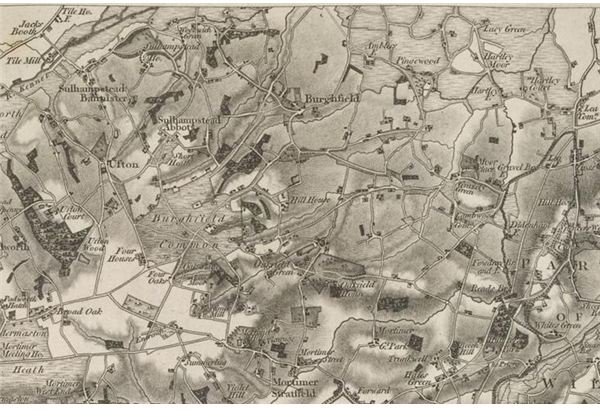
Mapping of countries is done by the ordnance survey of each country and is responsible for detailed maps of all areas. Their origin started for military purposes and is normally involved for large scale mapping, with most maps currently being digitized and available over the internet. Nowadays ordnance maps are used for business and leisure purposes, while their use for educational purposes has always remained.
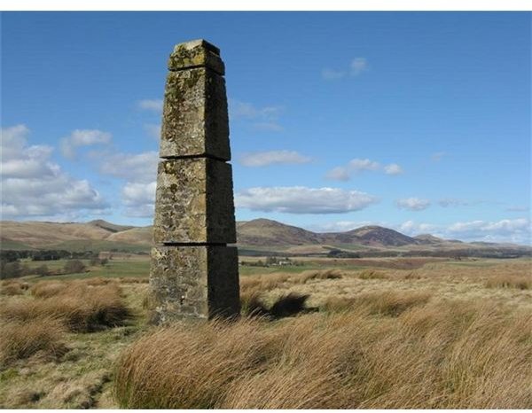
Most modern maps rely on aerial surveys, but it is still quite common for the earlier triangulation system for locating geographical features to still be used for ordnance survey mapping. These surveys take the assistance of master reference points that have been very precisely located, and such reference points are available in most cities and towns all over the world, as also in the countryside. These points can be found on prominent and famous landmarks. The steps of a town hall are quite often a quoted reference for local maps and such points would have their location and height predetermined and widely available to all surveyors. They are of immense importance to engineers and designers especially when they have to design road levels, sewerage and drainage lines, and any other work requiring fixed coordinates, so that all new work can have a reference to other existing work.
Reference
Everything explained – Absolute location explained
Geographers Craft - Coordinate Systems Overview